Product

What is
SAR?Features of SAR Data
There are currently two types of Earth observation satellites in use: optical satellites and synthetic aperture radar (SAR) satellites.
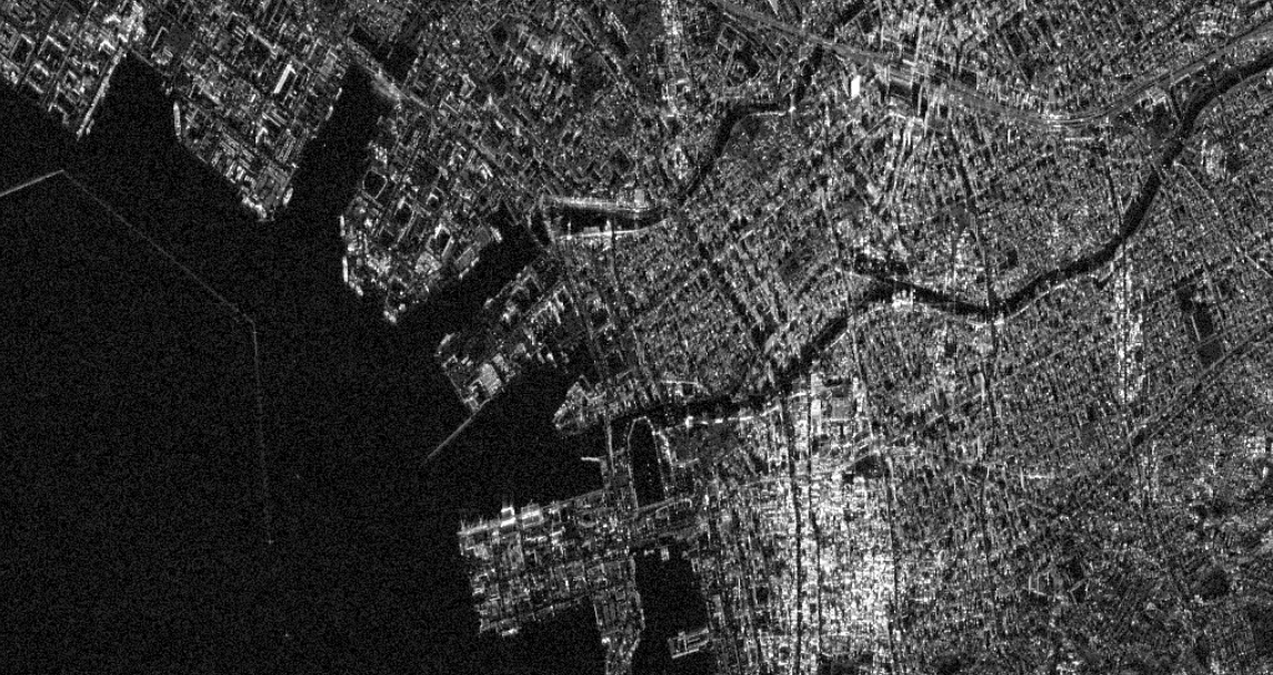
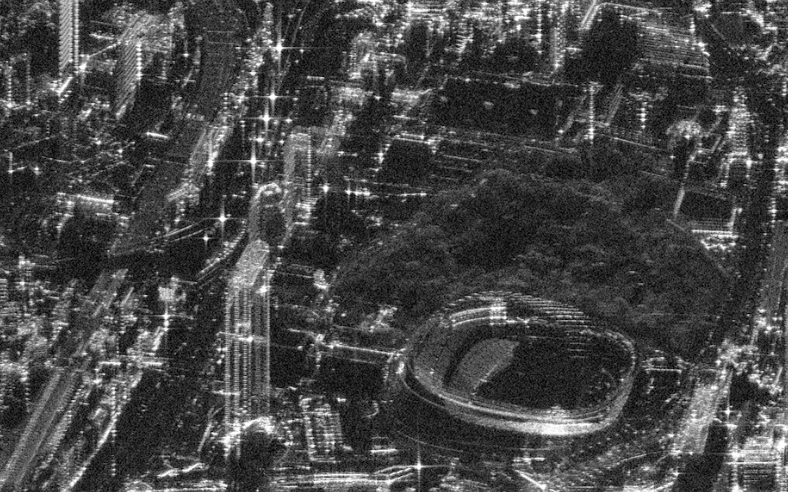
SAR satellites, unlike optical ones, utilize radar technology, enabling them to acquire detailed information about the Earth's surface regardless of day, night, or weather conditions.
SAR, with its unique capabilities, holds great potential for various applications. For instance, in the event of disasters such as floods, earthquakes, or volcanic eruptions, optical satellites may be hindered from observations by cloud cover, whereas SAR can overcome such obstacles and provide an accurate assessment of the damage.
Moreover, by employing interferometric analysis, SAR can detect subtle surface movements. This capability allows for monitoring extensive infrastructures such as slopes, roads and facilities, providing crucial information for disaster prevention and mitigation strategies.
|
Sunny |
Cloudy |
Rain |
Night |
|
|---|---|---|---|---|
| Optical | ||||
| SARSynthetic Aperture Radar |
Satellite Specifications
| Name | QPS-SAR |
|---|---|
| Frequency | 9.6GHz (X band) |
| Look Direction | Left or Right in Direction of Movement |
| Imaging Mode | Stripmap Mode, Spotlight Mode |
| Antenna Size | 3.6m (diameter) |
| Operational Orbit | SSO (Sun-Synchronous Orbit) and Inclined Orbit |
| Bandwidth | ~600MHz |
| Peak Radiated Power | 2,000W |
| Polarization | HH or VV |
| Off-nadir Angle | 15-50 degrees |
| Propulsion System | Available |
Schematics of Imaging Modes
-
Stripmap mode
-
Spotlight mode
Product Specifications
| Imaging Mode | Resolution*1(Azimuth x Ground Range) | Scene Size*1(Azimuth x Ground Range) | Interference Package |
|---|---|---|---|
| Stripmap | 1.8m x 0.46m | 14km x 7km | (To be available) |
| Spotlight | 0.46m x 0.46m | 7km x 7km |
- *1 Analyzed values at an off-nadir angle of 30 degrees, an altitude of 525 km, and a bandwidth of 600 MHz.
Product Level
| Processing LEVEL | Data | Imagine Mode | Data Type | Format |
|---|---|---|---|---|
| 1.1 (SLC) | Single Look Complex | Stripmap Mode | Float32 (I), Float32 (Q) |
GEOTIFF,SICD |
| 1.1 (SLA) | Single Look Amplitude | Stripmap Mode | Float32 | GEOTIFF |
| 1.1 (MLA) | Multi Look Amplitude | Spotlight Mode | Float32 | GEOTIFF |
| 1.2 (SLA, MLA) | Ground range projected(L1.1 with Slant/Ground conversion and map projection) |
Stripmap Mode/ Spotlight Mode |
Short16 | GEOTIFF |
| 1.3 (SLA, MLA) | Ortho with DEM(L1.1 with DEM elevation rectification and map projection) |
Stripmap Mode/ Spotlight Mode |
Short16 | GEOTIFF |
Console
We provide a console that enables new observation orders to QPS-SAR, as well as searching and purchasing archive data. This allows for a more streamlined and efficient process of conducting imaging plans and placing orders, which were previously time-consuming and labor-intensive.
Furthermore, we offer API functionality that enables integration with your system.
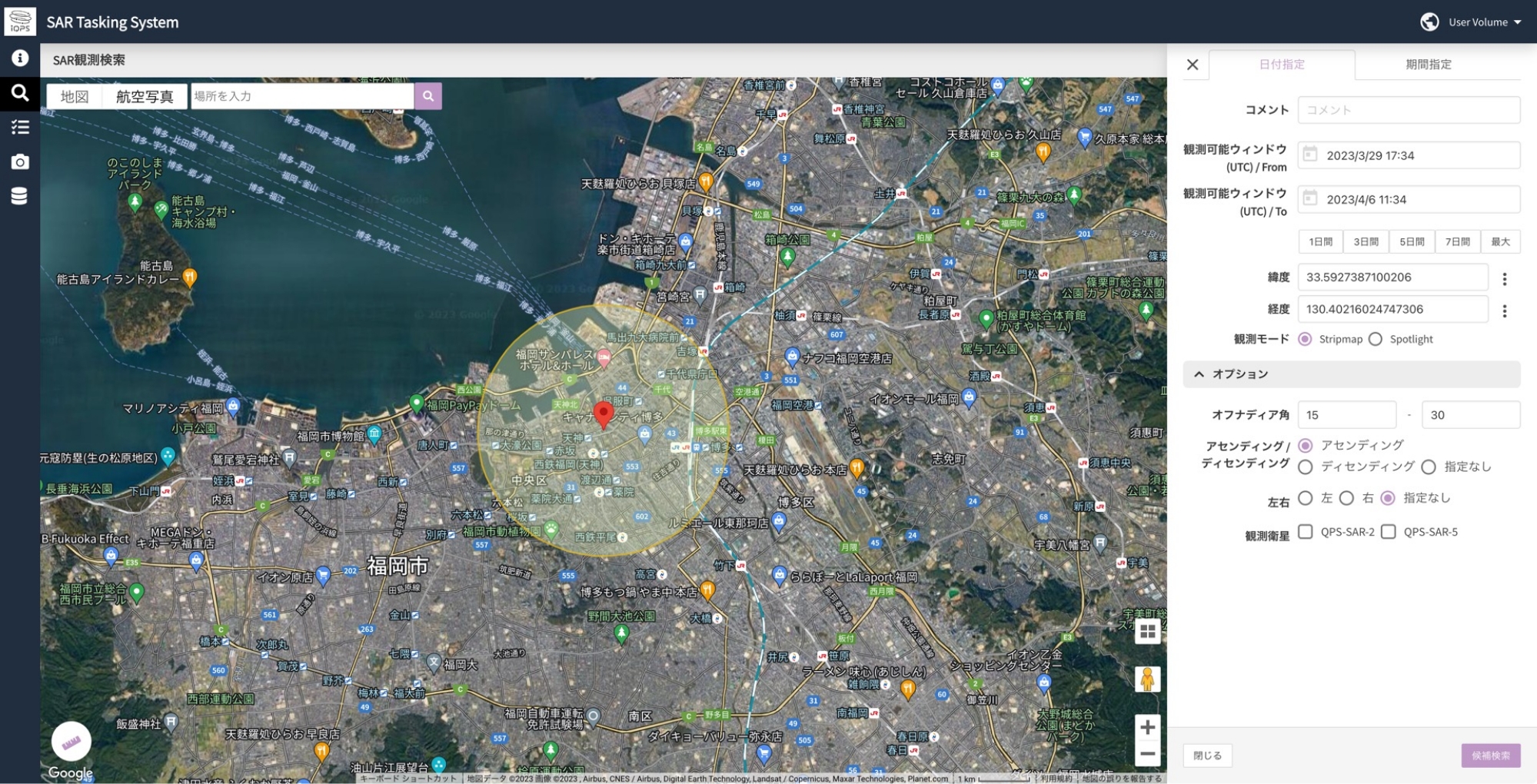
Tasking System
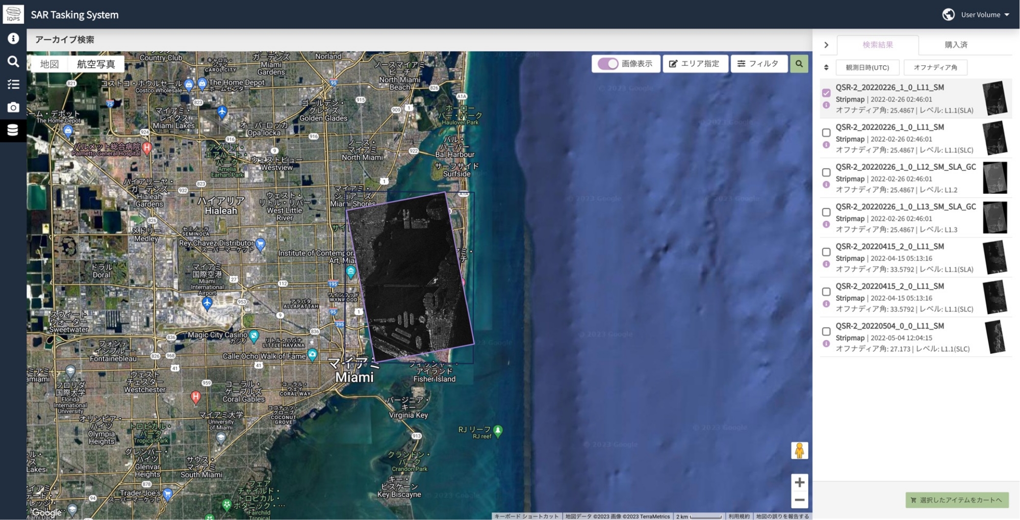
Archived Data Platform
Main Functions
-
Tasking System
Observation schedule search Observation option selection Tasking execution (new observation order) New observation data download API linkage, etc.
-
Archived Data Sales
Archive data search Option selection Archive data download API linkage, etc.